
Measurement / Analysis
Uncovering Subtle Electric Signatures to Open New Frontiers in Space Science
Faculty of Science and Engineering / Advanced Research Laboratories ProfessorMIYAKE Hiroaki

Damage caused by the landslide that struck Niscemi, Italy, in January 2026 (Gianfrancodp / Wikimedia Commons, CC BY-SA 4.0)
All English text on this page has been translated automatically. Some sentences may be unnatural.
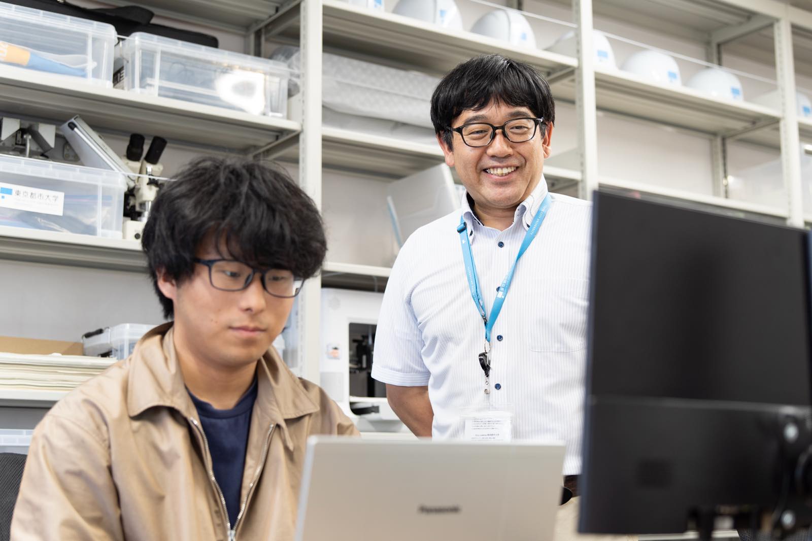
A mountain slope collapses. On its own, this is simply one of the many natural phenomena that occur on Earth. Even if a slope shifts deep in an uninhabited mountain area, it does not become a “disaster” unless people, roads, or buildings are present. A natural phenomenon becomes a disaster only when it intersects with human life. Professor Go Sato of the Faculty of Environmental Studies conducts research that protects human lives by bringing together two perspectives: the natural sciences, which seek to determine where and why mountains collapse, and the humanities, which examine why people came to live in those places and how they have built their lives there. For this interview, we spoke not only with Professor Sato but also with students in his laboratory.
Professor Sato’s principal research focus is sediment-related disasters caused by landslides and slope failures. In addition to examining natural conditions such as slope geometry, geology, and rainfall, he overlays social factors—including the surrounding population, land use, and road networks—to clarify how natural phenomena lead to actual damage. Since Japan’s period of rapid economic growth, urban expansion has extended residential areas onto slopes and into the outlets of valleys where relatively few houses had previously stood. Understanding both the formation of the natural environment and changes in human society is therefore the starting point for disaster risk reduction. “Earthquakes, tsunamis, and slope failures are not disasters in themselves. They become disasters only when people live there and roads and buildings are present. That is why we must investigate not only the natural phenomena, but also when and why people began living in those locations.”
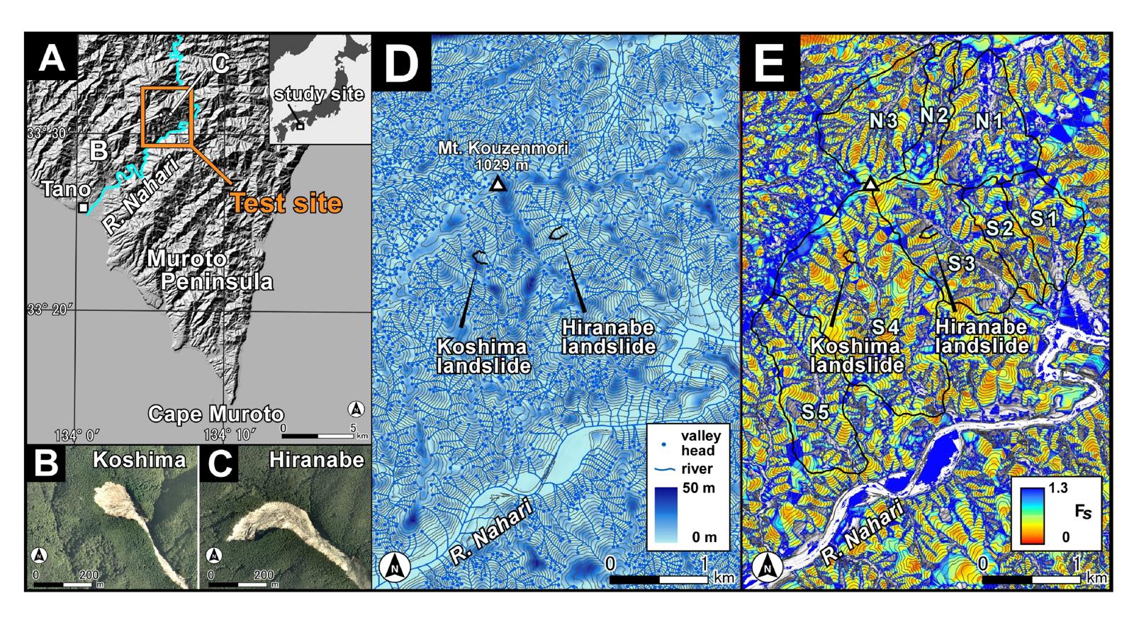
Hazard maps are one of the most important means of delivering research findings to society. By interpreting images captured by satellites, researchers identify locations where slope failures have occurred in the past. They then analyze the relationships between these failures and factors such as slope gradient, elevation, valley configuration, geology, vegetation, and land use, visualizing on a map where future failures are most likely to occur. Showing areas of risk geographically can support both government countermeasures and residents’ evacuation decisions. “We indicate which mountains are more likely to collapse and overlay that information with data on who lives there. Once we know that a collapse in a particular place would affect particular people, preparations can be made in advance.”
Vietnam is currently one of the regions receiving particular attention from Professor Sato’s laboratory. As weather events have become increasingly extreme in recent years, heavy rainfall has begun to affect areas that were previously less exposed to major typhoons and torrential rain. At the same time, rapid economic development has accelerated the construction of roads and urban areas, while many locations still lack adequate slope-protection measures. Mountain slope failures caused by intense rainfall threaten more than the lives of people living in mountainous communities. If roads or future expressways are severed, the disruption can also have a major impact on logistics and regional economies. In Japan, measures that often go unnoticed in daily life—such as erosion-control dams and slope-stabilization works—help reduce damage. Not every country, however, can immediately establish countermeasures of the same standard. This makes it essential first to determine accurately what is happening and where.
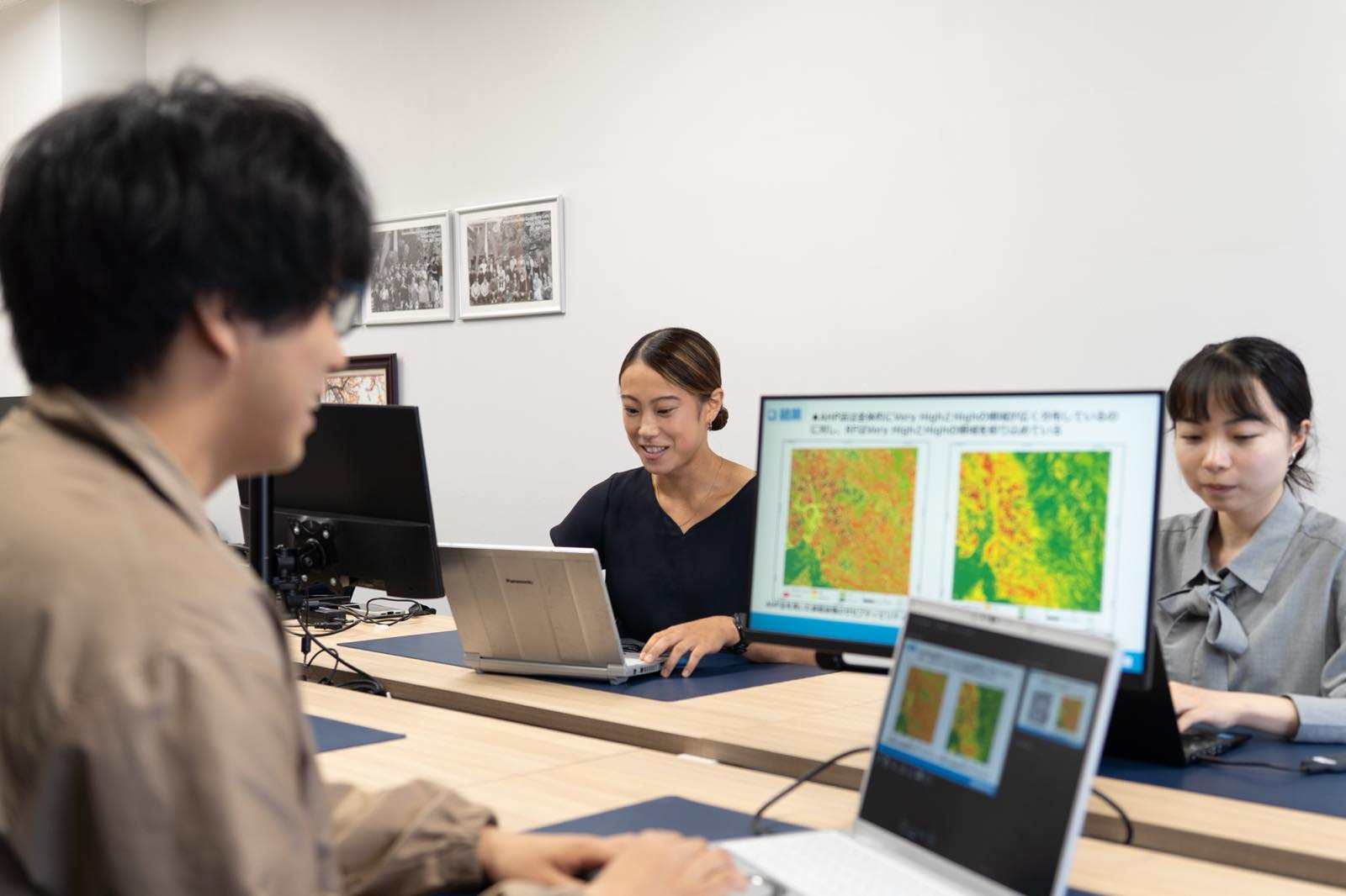
The laboratory has been examining slope failures caused by several typhoons that struck central Vietnam in 2020, as well as a typhoon that made landfall in northern Vietnam in 2024. Researchers inspect satellite images one by one and create distribution maps of the affected sites. Akari Yamaguchi, a second-year master’s student in the Environmental and Information Studies Program, personally identified approximately 12,000 slope-failure locations and recorded them on maps. Areas of deforestation and slope failures can sometimes look similar in satellite imagery, but she carefully distinguishes between them by examining such details as vegetation boundaries and the ways in which soil and debris have flowed. Using the primary data created through this process, the researchers quantitatively assess the relationships between slope failures and geological and topographical conditions.
Granite, for example, is a hard rock, but when weathered it breaks down into a sandy material known in Japanese as masa. When rainwater accumulates along the boundary between solid bedrock and this weathered granite soil, the masa can slide over the underlying rock much like a rider on a waterslide. A similar tendency has been observed in Vietnam, where slope failures are concentrated in areas with extensive granite formations.
The laboratory is also conducting research on the transfer of terrain-interpretation skills through the use of eye tracking. Terrain interpretation is the practice of examining the relief and shapes represented in topographic visualization maps and aerial photographs to understand how a landscape was formed and what risks it may face in the future. As experts with advanced interpretation skills grow older, passing their knowledge and experience on to the next generation has become an important challenge.
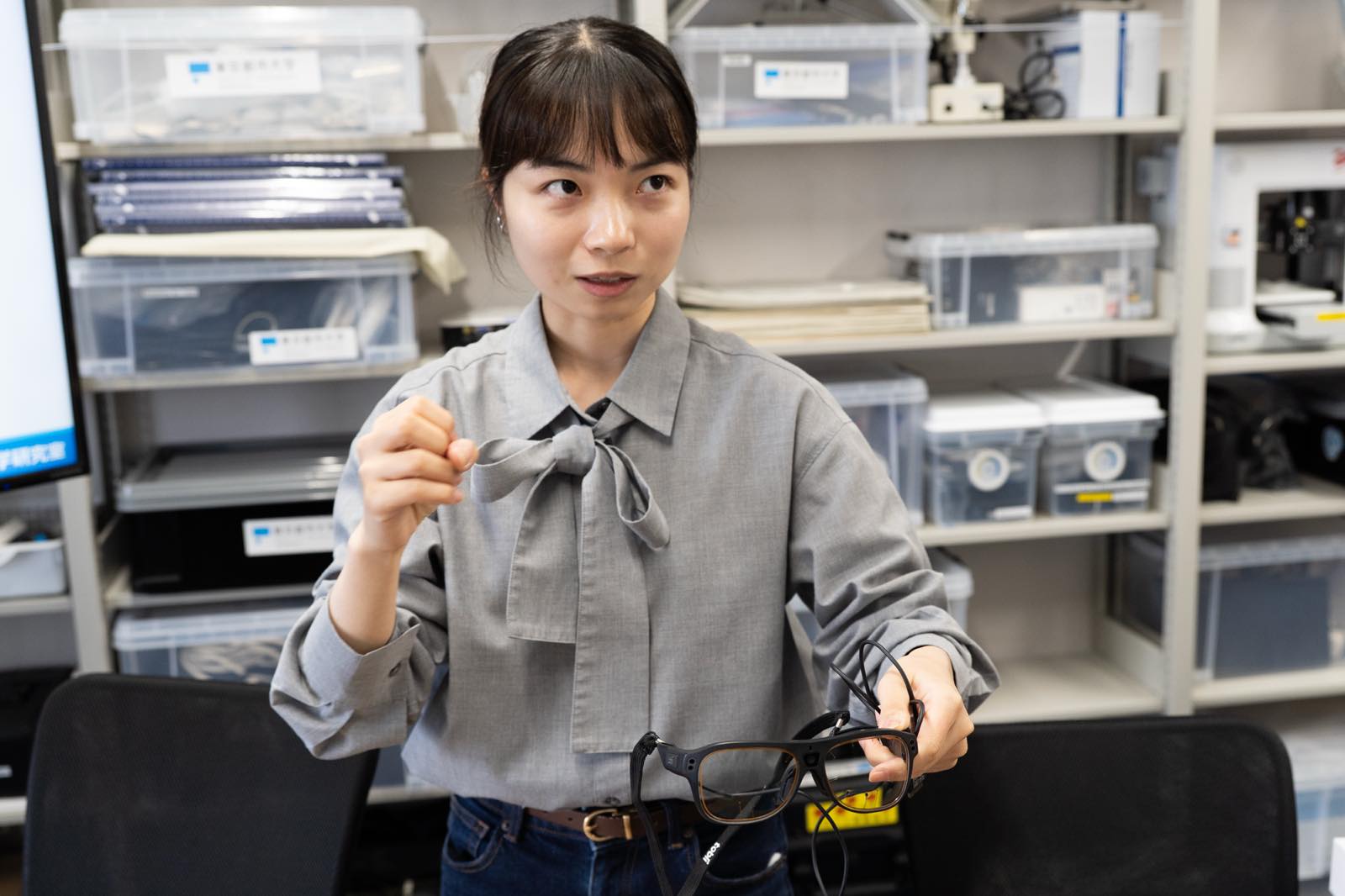
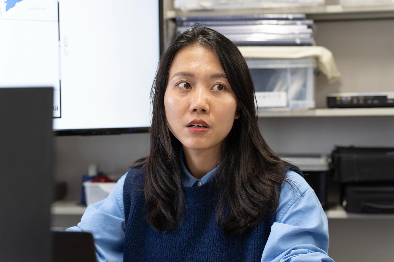
Sayaka Matsushita, a first-year master’s student in the Environmental and Information Studies Program, is developing a “terrain-interpretation support system.” The system uses machine learning applied to eye-movement data collected from multiple experienced interpreters to show non-experts where they should focus when examining terrain. Experts wear a glasses-type device that records where they look, the order in which they look at different locations, and how long their gaze remains there. Their speech is recorded at the same time, allowing the researchers to connect eye movements with the underlying thought process. Experienced interpreters tend to direct their gaze efficiently toward important locations, whereas less-experienced observers tend to scan a wider surrounding area in search of clues.
Visualizing the tacit knowledge embedded in an expert’s skills and passing it on to the next generation is also a way of preserving the foundations of disaster risk reduction itself. The laboratory is additionally comparing how experts and students view exhibits at disaster memorial and educational facilities, with the aim of improving disaster education and exhibition design. This focus not only on physical geography but also on human behavior and ways of learning reflects the laboratory’s commitment to integrating the sciences and humanities.
One experience that demonstrated the value of disaster-prevention research to Professor Sato was his participation in an international cooperation project in Honduras, Central America. Through a technical cooperation initiative conducted by the Japan International Cooperation Agency (JICA), he worked with local disaster-management agencies to create hazard maps in an area affected by large-scale landslides. By identifying dangerous locations on maps, the project established a system for encouraging residents to evacuate.
A slope later collapsed at a location Professor Sato had identified as hazardous, destroying a large number of homes. The residents, however, had evacuated beforehand, and no lives were lost. “Even when protective construction cannot be carried out because of budgetary or other constraints, lives can still be saved by using maps to communicate that a particular location is dangerous. I believe this was also an important achievement for Japan’s international cooperation efforts.”
The collaborative research with Vietnam did not emerge within a short period of time. Professor Sato and his colleagues have spent many years building relationships with local universities and other institutions and developing mutual trust. On this foundation, they will continue working over the coming years through international research projects aimed at reducing sediment-related disasters. Together with local researchers, they collect data, assess risk levels, and apply their findings to future countermeasures.
The laboratory also includes Vietnamese students studying in Japan on Japanese government scholarships, who hope to apply the knowledge they acquire to disaster risk reduction in their home country. Ms. Yamaguchi has likewise continued her research because she is attracted to the possibility of contributing to international cooperation from the perspective of natural disasters. Motivated by a desire to participate in international projects and protect the lives of people in developing countries from disasters, she has decided to progress to a doctoral program.
Professor Sato believes that disaster risk reduction in Japan requires not only the construction of protective facilities but also a public understanding of how disasters occur. Climate change may bring rainfall exceeding past assumptions, creating the possibility of slope failures even in locations where disasters have not occurred before. National and local governments must make adequate preparations for disasters that can be mitigated through physical countermeasures. At the same time, residents themselves need to understand why landslides occur and what kinds of hazards exist in the areas where they live.
“People are unlikely to study a hazard map simply because it has been handed to them. But once they understand how the map was created, the way they look at it changes. For example, if students explain it to their families, their parents and grandparents may be more willing to listen.”
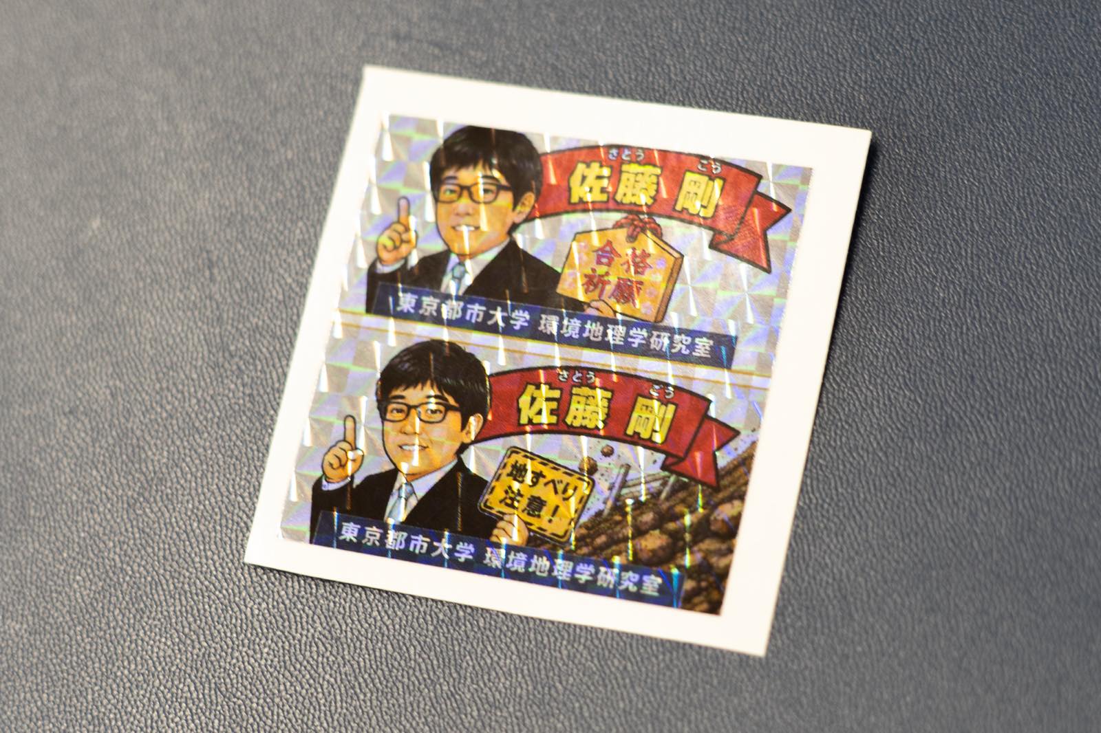
Professor Sato’s laboratory places great importance on obtaining primary data firsthand. Its members interpret satellite images, travel to field sites, fly drones, and measure the eye movements of experts. By doing more than analyzing existing datasets—and instead creating the foundations of their own research—they are able to formulate new questions about the phenomena before them.
The laboratory also has a mentoring system through which students pass research methods on to one another, with senior students monitoring the progress of junior students and offering advice. Professor Sato identifies the interests and strengths of each individual and guides their research in a wide variety of directions, including physical geography, human geography, artificial intelligence, and education. In some cases, students introduce new analytical methods and develop their research beyond the faculty members’ own level of understanding.
“One faculty member alone could never accomplish this much work. When students participate in the research and make use of their individual strengths, the range of what we can achieve expands enormously.”
Identifying where mountains are likely to collapse. Understanding why people live on that land. Passing the ways experts observe terrain on to the next generation, and connecting maps of dangerous locations with evacuation action. Professor Sato’s research does not separate nature from human beings; instead, it scientifically examines the risks that arise where the two meet.
Behind every point marked on a map is the life of someone who lives there. Each day, the students in Professor Sato’s laboratory examine satellite imagery and topographic maps, interpreting the characteristics of different regions through data they have created themselves. Their accumulated efforts make hidden dangers visible—and may ultimately help save lives somewhere in the world.
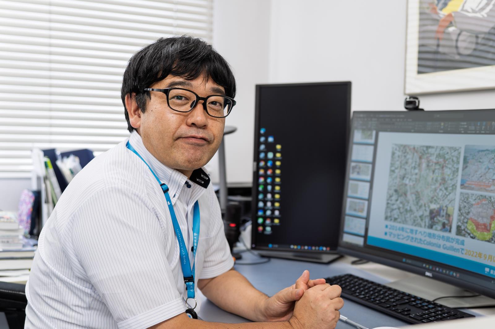
Professor, Department of Environmental Management and Sustainability, Faculty of Environmental Studies, and Environmental and Information Studies, Graduate School of Environmental and Information Studies. He received his Ph.D. in Science from the Graduate School of Science and Technology at Chiba University in 2007. After serving as a professor in the Faculty of Humanities and Social Sciences at Teikyo Heisei University, he assumed his current position in 2023.